
MArchII student project
Instructors:
John Zissovici and Paul Soulellis
Cornell Department of Architecture
|
|||||||||||
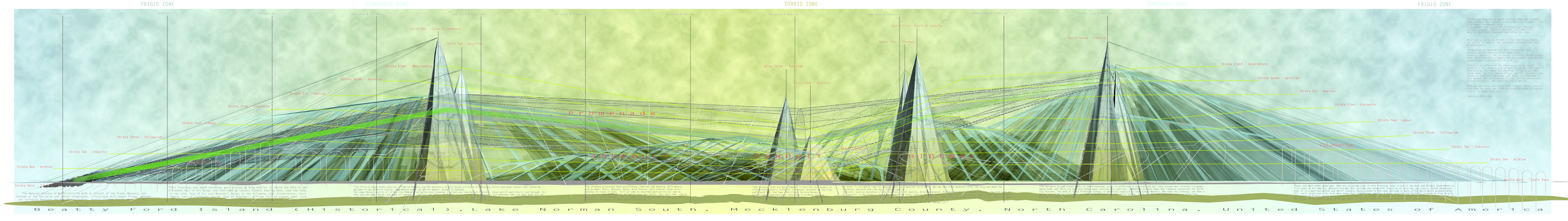
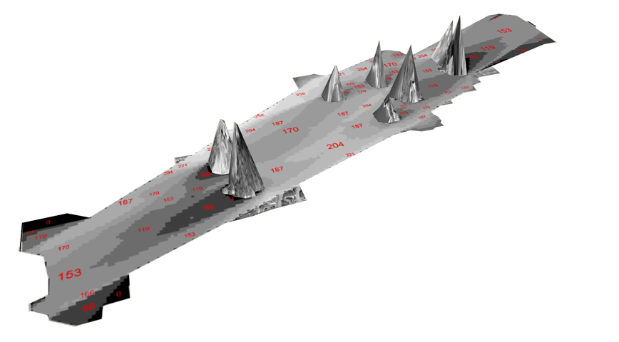
| Beatty Ford Island | |
|
|
||||||||
| by Tom Wu MArchII student project Instructors: John Zissovici and Paul Soulellis Cornell Department of Architecture |
|||||||||||
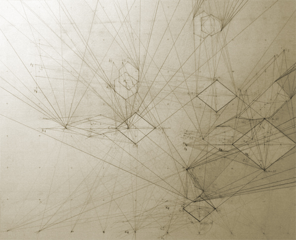
| In Google Earth, the manifold of the earth’s sphere is subjected to scanning, conducted by NASA utilizing radio interferometric principles. The resulting Digital Elevation Model, is analogous to stereoscopic vision – whereby differences between two simultaneous instances accrue, such that 1 + 1 = 3. The extra dimensionality is harvested from interference patterns, derived from the procedure of paired scanning, as the means to generate the manifold of an atlas. In gleaning/scanning, unintentional disturbances inevitably occur, thus at unpredictable, but site-specific conditions there emerge moments that manifest a reversal of intentionality. The process reciprocates, becomes projective and informing, resulting in novel forms produced amidst a disjuncture between networks of physical and virtual/immaterial processes of imaging. | |||||||||||