
MArch II Studio Project
Instructors:
John Zissovici and Yanni A. Loukissas
Cornell Department of Architecture
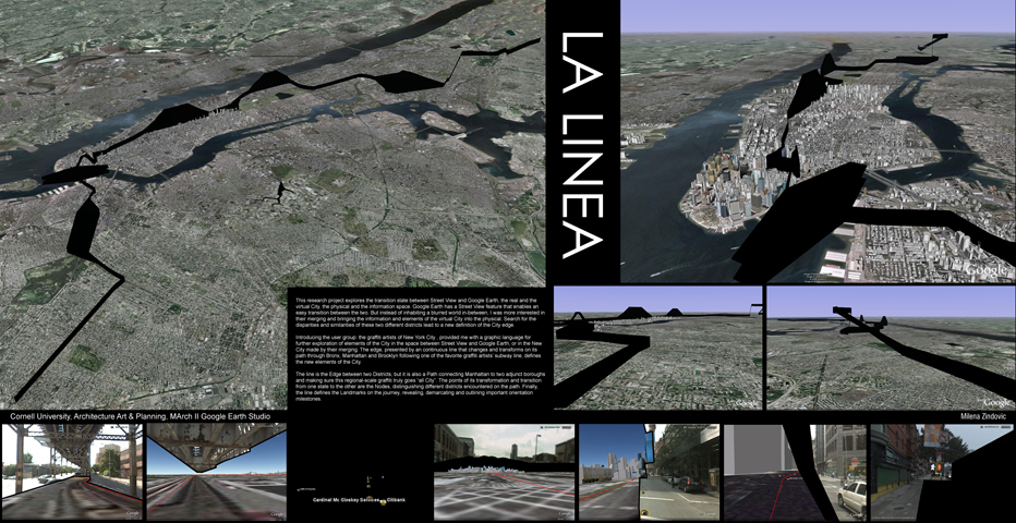
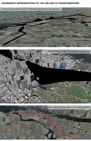
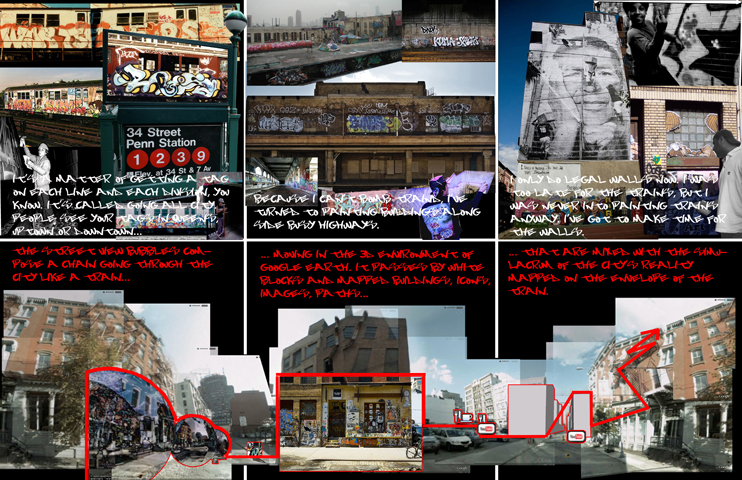
The user group, the graffiti artists of New York City, provided a graphic language for exploring the space between Street View and Google Earth, the New City made by their merging. The edge, presented as a continuous line that changes and transforms on its path through the Bronx, Manhattan and Brooklyn following one of the subway lines favored by early graffiti artists, redefines and proposes new elements of the City.