
MArchII student project
Instructors:
John Zissovici and Paul Soulellis
Cornell Department of Architecture
|
|||||||||||
| Netherberry | |
|
|
|
|||||||
| by Pablo Licari MArchII student project Instructors: John Zissovici and Paul Soulellis Cornell Department of Architecture |
|||||||||||
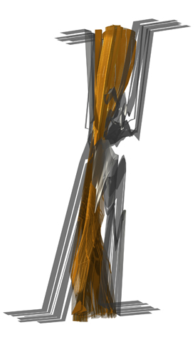
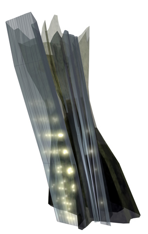
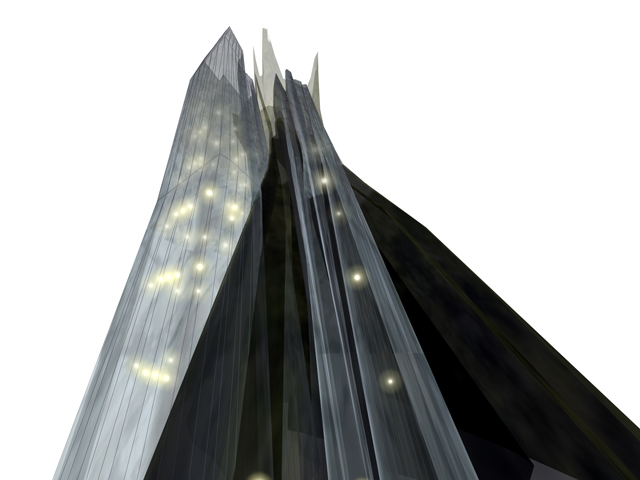
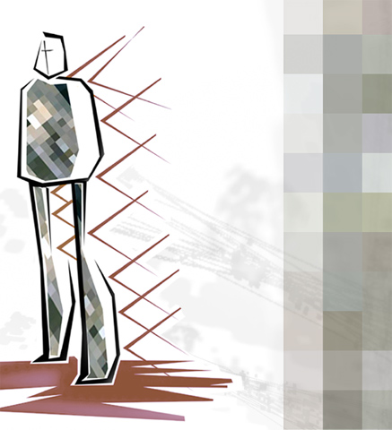
| The displacement of visual information from behind an object onto its front surface is a mode of high tech camouflage currently explored by the military. Disguising the identity of a place through the transference of pixels from another location is a common occurrence in Google Earth, like the easily detectable rectangular ‘cloud covers’. The exchange of identities between two cities creating ‘sister cities’ is used as a way to link communities often on opposite ends of the globe for mutual advantage. Test cities in this case were Rosebery, Australia and Den Haag , Netherlands, cities as far apart in time as they are in distance on the globe. This exchange of pixels from different content layers in Google Earth along paths determined by the lines of communication between the two cities is enacted in the context of a virtual globe. The merging of their identities creates a third entity, a city where ambiguous temporalities generate hybrid programs through 24-hour occupations, a day-for-night convergence of unique and momentary relationships at the center of the world. | |||||||||||